Table of Contents
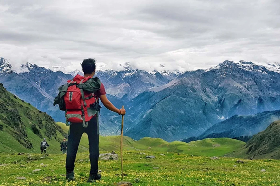
The Sar Pass Trek is a good choice for beginners and the perfect ride if you want to experience all kinds of terrain. This trail offers trekkers a variety of experiences, from forest trails to meadows to quaint villages to snow-capped mountains. A post-graduate from BITS Pilani, Prashant Jha, describes this well-explored trek in Himachal Pradesh’s Parvati valley.
There are plenty of stay options – pocket-friendly and high-end, and one can choose from Israeli, Continental, Indian, and Chinese cuisines.
Key Points of Sar Pass Trek
| Trek Name | Sar Pass Trek |
| Adventure Type | Trekking |
| Base Camp | Kasol (Himachal Pradesh) |
| Season | Summer (May to June & September to October) |
| Month | May, June, September, and October are ideal, with clear skies and pleasant temperatures. |
| Location | Parvati Valley, Himachal Pradesh, India |
| Distance | Approximately 48 kilometres (30 miles) |
| Trail Type | Moderate with gradual ascents and descents |
| Nearest Airport | Bhuntar Airport (32 km from Kasol) |
| Altitude | Reaches a maximum height of 13,799 ft (4,210 meters) at Sar Pass |
| Grade | Easy to Moderate |
| Nearest Railhead | Jogindernagar (140 km from Kasol) |
| Stay | Guesthouses and homestays in villages along the route, camping tents |
| Food | Local Himachali cuisine with vegetarian and non-vegetarian options |
Why is Sar Pass a Must-Do Trek?
This beautiful Himalayan trek begins from the lovely village of Kasol in Himachal Pradesh. Take a trip on a journey to behold the mesmerizing beauty of the Himalayas, draped in vibrant greenery and glistening white snow. Kasol, a charming town nestled at an altitude of 5,184 feet in the enchanting Parvati Valley, serves as the gateway to this breathtaking trekking experience.
You will trek through lush green forests of pine, deodar, and rhododendrons and pass through the beautiful village of Grahan. From the Parvati Valley, you can see millions of stars at night. Camping under a starry sky is a life-changing experience.
As you approach the pass, the vegetation changes from lush green to wholly whitewashed. In this short but beautiful trek, you will cross grasslands, woodlands, and snow patches. The trek is suitable for beginners and anyone who wishes to experience a Himalayan trek. Overall, Sar Pass is a beautiful adventure that everyone should experience.
Trekking Difficulty and Fitness Requirements
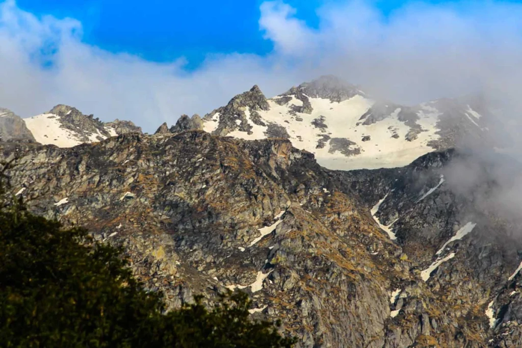
While the Sar Pass Trek offers an enriching experience, it is essential to acknowledge this expedition’s physical demands and challenges. The trek is classified as moderate to difficult, requiring good fitness and stamina to navigate the rugged terrain and high altitudes. Prior trekking experience and cardiovascular endurance are beneficial in preparing for the trek.
Regular physical exercise and endurance training leading up to the trek are advisable to ensure a safe and enjoyable journey. Strengthening your leg muscles, improving cardiovascular fitness, and acclimatizing to high altitudes are effects of altitude sickness and fatigue during the trek.
Who Can Participate?
Minimum age: 12 years old (though some operators may have a higher minimum)
Experience: Open to first-timers, but previous trekking experience is a plus
Fitness: Ability to comfortably hike 5 kilometers in 35 minutes
Strength: Able to carry a backpack weighing 10–15 kilograms
If you’re considering the Sar Pass Trek, it’s essential to be honest about your fitness level and experience. While it is regarded as a beginner-friendly trek, it’s still important to be prepared for the physical challenges of hiking at altitude.
Here are a few tips:
- Start a training program that includes cardiovascular exercise and strength training to improve your endurance and ability to carry a backpack.
- Research altitude sickness and how to acclimatize properly.
- Invest in good quality hiking boots and clothing.
Day-By-Day Detailed Schedule
Day 01: Grahan Village – Kasol by Trek
- Distance: 10 kilometers (around 6.2 miles)
- Grade: Gradual to moderate. This means there will be some uphill sections, but they will be pretty easy.
- Altitude Gain: Approximately 650 meters (2,123 feet)
- Start/End Altitude: Kasol (5,577 ft / 1,700 m) – Grahan Village (7,700 ft / 2,350 m)
- Time: 4-5 hours
- Accommodation: Homestay
- Meals: Lunch and dinner
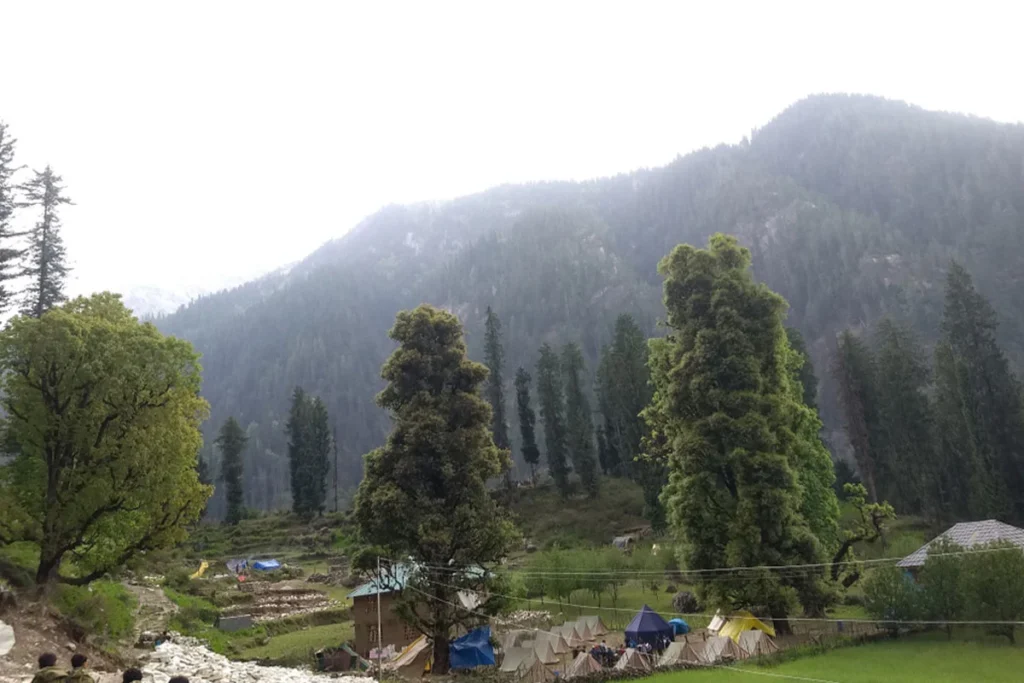
The trek starts in Kasol, a popular backpacker destination in Himachal Pradesh. There is no difficulty in the trek from here, as villagers usually take it, and you can enjoy the scenic view.
The first part of the trek is relatively easy, following a well-marked trail through dense forests of deodar, pine, and rhododendrons. You’ll likely encounter some local vendors selling tea, snacks, and rhododendron syrup along the way.
As you gain altitude, the trail will become steeper and rockier. However, the effort will be rewarded with stunning views of the Himalayas.
Your destination for the night is Grahan Village, a small and picturesque village located at an altitude of 7,700 feet. Here, you’ll be staying in a homestay, a great way to experience the local culture.
Day 02: Grahan – Min Thach by Trek
- Distance: 7 kilometres (4.3 miles)
- Grade: Gradual to moderate. Like yesterday, the trail will have some inclines but will not be extremely steep.
- Altitude Gain: 1050 meters (3,455 feet). This is a significant increase in altitude compared to day 1, so it’s important to pace yourself and stay hydrated.
- Start/End Altitude: Grahan Village (7,700 ft / 2,350 m) – Min Thach (11,155 ft / 3,400 m)
- Time: 4-5 hours
- Accommodation: Trekking tents
- Meals: Breakfast, lunch, and dinner
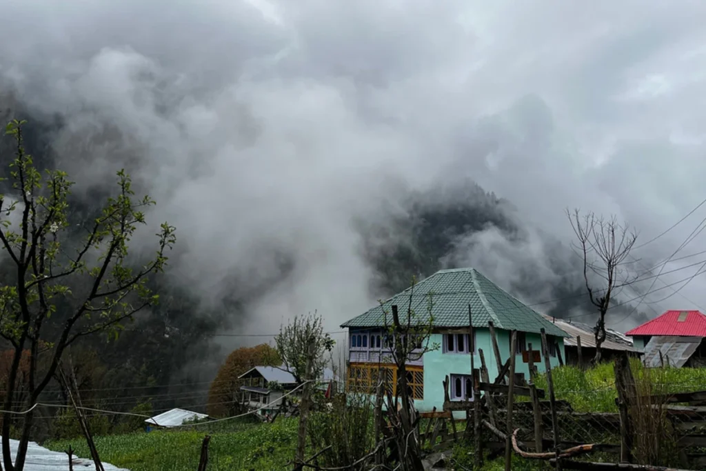
On day 2, you’ll leave Grahan Village early in the morning and follow a northward trail that climbs gently. Villagers frequently use this trail, so it’s well-maintained. As you trek, your guide will point out landmarks like Min Thach, Nagaru, and even Sar Top, the peak you’ll be conquering later.
The surrounding scenery will transform from the dense forests of day 1 to meadows sprinkled with wildflowers. Look for grazing sheep and yaks, common sights in the Himalayas.
While the trail is generally gradual, a few steeper sections will test your endurance. Remember to breathe deeply and take breaks whenever you need them. The slower pace will also allow you to soak in the breathtaking views of the mountains.
Day 3: Min Thach – Nagaru by Trek
- Distance: 6 kilometres (around 3.7 miles)
- Grade: Gradual to moderate. Today’s trek is similar to the previous two days, with some inclines but no highly steep sections.
- Altitude Gain: 400 meters (1,312 feet). This is a smaller altitude gain than Day 2, so it should be less strenuous.
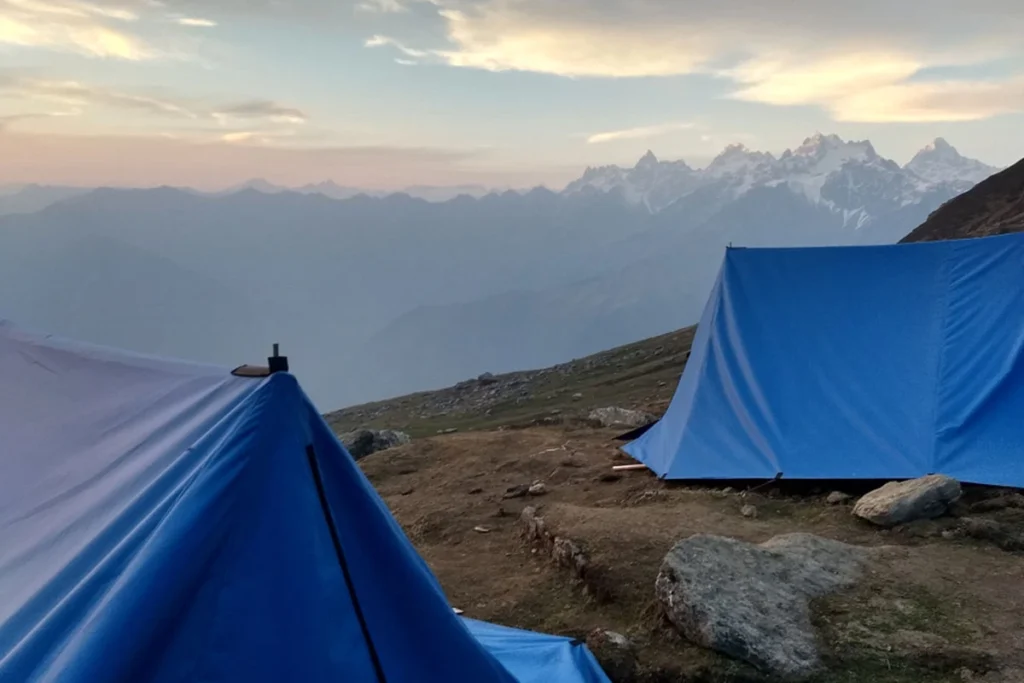
- Start/End Altitude: Min Thach (11,155 ft / 3,400 m) – Nagaru (12,467 ft / 3,800 m)
- Time: 4 hours
- Accommodation: Trekking tents
- Meals: Breakfast, lunch, and dinner
On this day, you’ll depart from Min Thach after enjoying breakfast prepared by your guides. The trail continues northwards, and you’ll likely notice the landscape becoming more barren as the altitude increases.
The initial part of the trek might be along a stream, offering a beautiful water feature alongside the path. You might even see some colourful birds or other wildlife along the way. Keep an eye out for the majestic Himalayan Griffon vulture known to soar in these skies.
Since Nagaru is the highest campsite, you might experience some effects of altitude sickness. These can include headaches, dizziness, and shortness of breath. It’s essential to stay hydrated, take Diamox (altitude medication) if your doctor prescribes it, and avoid strenuous activity upon reaching camp.
Day 04: Nagaru – Biskeri Thach by Trek
- Distance: 14 kilometres (around 8.7 miles) – This is the longest trek day.
- Grade: Moderate to complex – Today’s trek is the most challenging, with a steeper climb to the pass and a significant descent afterwards.
- Altitude Gain: 400 meters (1,313 feet) – You’ll gain altitude to reach the pass but descend significantly afterwards.
- Altitude Loss: 850 meters (2,789 feet) – This is a substantial descent, so be prepared for your knees to take some strain.
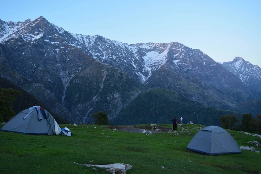
- Start/End Altitude: Nagaru (12,467 ft / 3,800 m) – Biskeri Thach (10,991 ft / 3,350 m) via Sar Pass (13,780 ft / 4,200 m)
- Time: 7-8 hours – This is the longest trek day, so be prepared for a long day on the trail.
- Accommodation: Trekking tents
- Meals: Breakfast, lunch, and dinner
- Note: Early morning starts at 2:30 AM – You’ll need to wake up early to start your trek to reach the pass before the weather conditions change.
This day will test your physical and mental strength. To prepare for the early start, you’ll likely go to sleep quite early on Day 3. Given the pre-dawn start, a headlamp will be essential.
The hike to the pass will be challenging, with a steep climb in the dark. The trail may be rocky and uneven, so wear good hiking boots with good ankle support. The pre-dawn temperatures will likely be cold, so dress in layers that you can easily adjust as the day progresses.
As you near the pass, you’ll start to see the first rays of light peeking over the horizon. The views from the top of Sar Pass are breathtaking, with panoramic vistas of the surrounding mountains. Here, you’ll take a well-deserved break to capture photos and celebrate your accomplishment.
From the pass, you’ll begin your descent towards Biskeri Thach, your campsite for the night. The descent will be much easier on your knees than the climb, but it can still be tiring.
Day 5: Biskeri Thach – Barshaini and Retun to Kasol by Drive
- Distance: 10 kilometres (around 6.2 miles) – This is the second-longest day of the trek, but it should be significantly easier than the previous day.
- Grade: Easy – Today’s trek is a breeze compared to the challenges of Day 4.
- Altitude Loss: 950 meters (3,117 feet) – You’ll be descending most of the way, making for a comfortable trek on your knees.
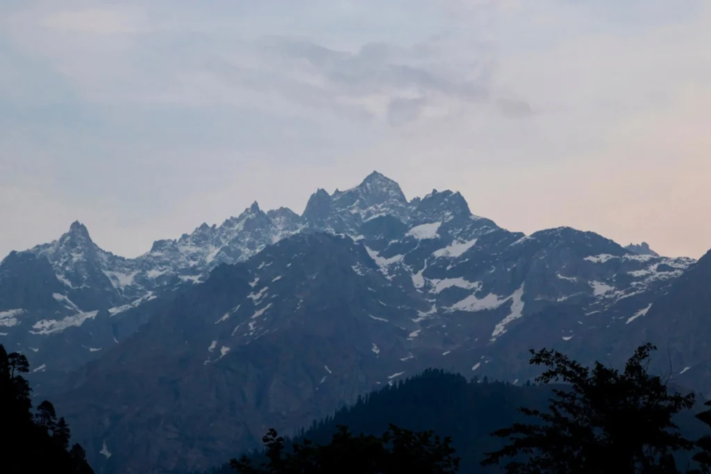
- Start/End Altitude: Biskeri Thach (10,991 ft / 3,350 m) – Barshaini (7,874 ft / 2,400 m)
- Time: 4-5 hours
- Meal: Breakfast and lunch only
On your last day of trekking, you’ll enjoy a leisurely morning at Biskeri Thach, taking in the beautiful scenery and reflecting on the fantastic experiences of the past few days. After breakfast, you’ll hit the trail to descend to Barshaini.
The trail will be mostly downhill through dense forests of pine and cedar. Along the way, you might encounter streams and waterfalls, offering a refreshing sight and sound. The path will likely be well-maintained, making for an easy walk.
As you descend, you’ll notice the warmer temperature and the vegetation changing. By afternoon, you’ll reach Barshaini, a small village at a lower altitude.
The drive from Barshaini to Kasol should be quick and comfortable. Upon reaching Kasol, you’ll likely check into your hotel, shower well, and reminisce about your incredible trek through the Himalayas. Congratulations on completing the Sar Pass Trek!
Read another blog: Queensland Chennai Ticket Price
When is the best time to trek the Sar Pass?
The ideal time to embark on the Sar Pass Trek is during the summer months of May to June and the post-monsoon season from September to October. These months offer mild weather conditions with clear skies, making it conducive for trekking and enjoying the scenic beauty of the Himalayan landscape. Avoiding the monsoon season is advisable due to the risk of landslides and slippery trails.
During the summer, the lush greenery and blooming wildflowers add a vibrant touch to the landscape, creating a picturesque setting for your trekking adventure. In the post-monsoon season, the clear skies provide unobstructed views of the surrounding mountains, enhancing the trekking experience. Check the weather forecast and plan your trek accordingly to make the most of your journey through the Sar Pass.
Map
How To Reach Sar Pass Trek
The trek typically starts in Kasol, a popular destination in Himachal Pradesh, India. Here’s how to reach Kasol:
By Air
- The closest airport to Kasol is Bhuntar Airport, situated around 31 kilometres away. There is a regular flight service between Bhuntar Airport and major Indian cities including Delhi and Chandigarh. From Bhuntar, travellers can take a taxi or bus to Kasol.
By Train
- The closest railway stations to Kasol are Pathankot and Joginder Nagar. You can board a train to either of these stations from different parts of India and then proceed to Kasol by taxi or bus.
By Road
- Kasol is well-connected by road and can be reached by bus from many locations in India, including Delhi, Chandigarh, and Manali. You can also hire a private taxi to reach Kasol from any nearby city.
Essential Packing List for the Trek
Proper preparation and packing are essential for a successful and comfortable trekking experience on the Sar Pass Trail. Ensure you have the following items in your backpack to tackle the challenges of the trek and make the most of your adventure:
- Clothing: Pack lightweight, moisture-wicking clothing for trekking in varying weather conditions. Include warm layers for cold nights at higher altitudes and waterproof gear to protect against rain or snow.
- Footwear: Invest in sturdy, comfortable hiking boots with good ankle support to navigate rocky and uneven terrain. Carry extra pairs of socks to keep your feet dry and blister-free.
- Gear: Bring a reliable backpack to carry your essentials and a trekking pole for added stability on challenging slopes. Carry a headlamp and extra batteries for night treks and emergencies.
- Safety Essentials: Pack a first aid kit with essential medications, blister plasters, and basic medical supplies. Include a whistle, compass, map for navigation, and a multi-tool for emergency repairs.
- Food and Water: To fuel your trek, carry high-energy snacks, energy bars, and hydration packs. Purify water from natural sources using water purification tablets or a portable water filter.
Frequently Asked Questions
How difficult is Sar Pass Trek?
The trek is considered easy to moderate. It’s a good choice for beginners with decent fitness but can also be enjoyed by experienced trekkers.
How much distance is Sar Pass trekking?
The total trek distance is around 48 kilometres.
Is Sar Pass risky?
While not extremely risky, there are challenges like steep climbs, high altitudes, and unpredictable weather. Proper preparation and a guide can mitigate these risks.
What is the altitude of the Sar Pass?
The highest point is Sar Pass itself, reaching 13,799 feet (or 4,210 meters).
Which month is best for the Sar Pass Trek?
The ideal months are typically May, June, September, and October. During these months, you can expect pleasant weather and good visibility.
What is the meaning of Sar Pass?
The exact meaning of “Sar” is unclear, but it could translate to “lake” or “source” in the local language.
Is there snow in Sar Pass in May?
There might be some patches of snow at higher altitudes in May, but generally, the trail is clear.
Which airport is near Sar Pass?
The closest airport is Kullu Manali Airport (Bhuntar).
What is the toughest part of the trek?
The steep ascend towards Nagaru campsite (Day 3) and a steep section after Sar Pass (Day 4).
When will the trek start? How do I get there?
The trek typically starts in Kasol, Himachal Pradesh, India. See the “How to Reach Trek” section for details on reaching Kasol by air, train, or road.

